Trentino Gravel 2026, the mountains made rideable
About five hundred riders from more than 25 countries, three loop routes from Rovereto, from Lake Garda up to 2,337 metres. How the first Trentino Gravel went, told in the words of the people who rode it.
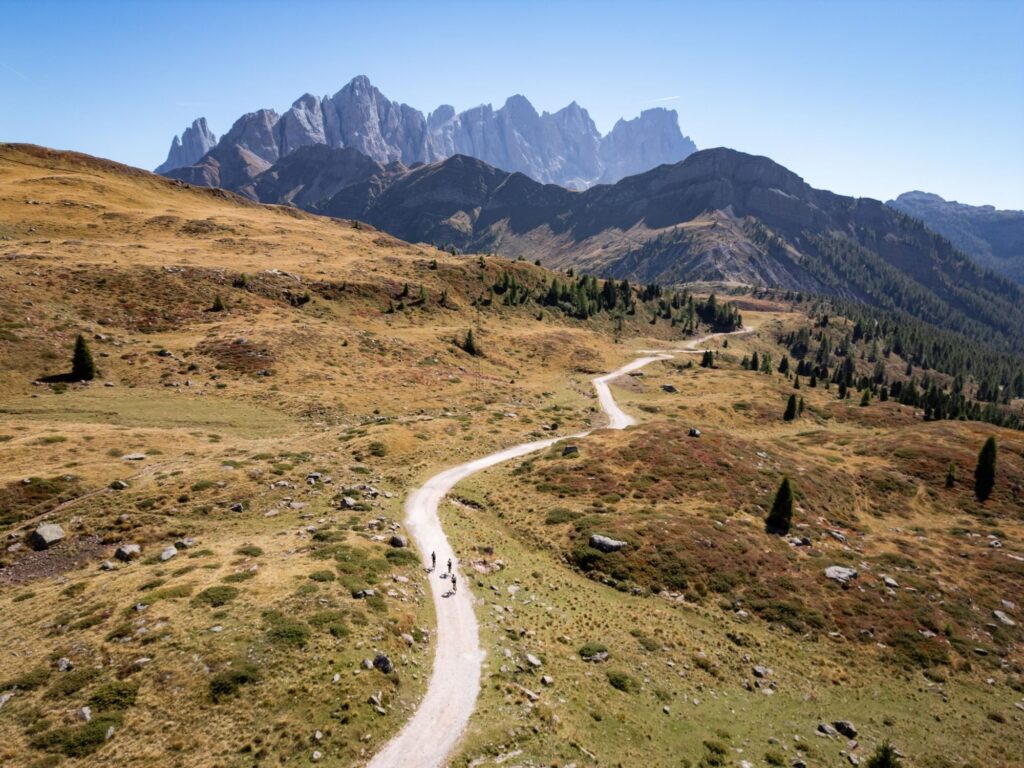
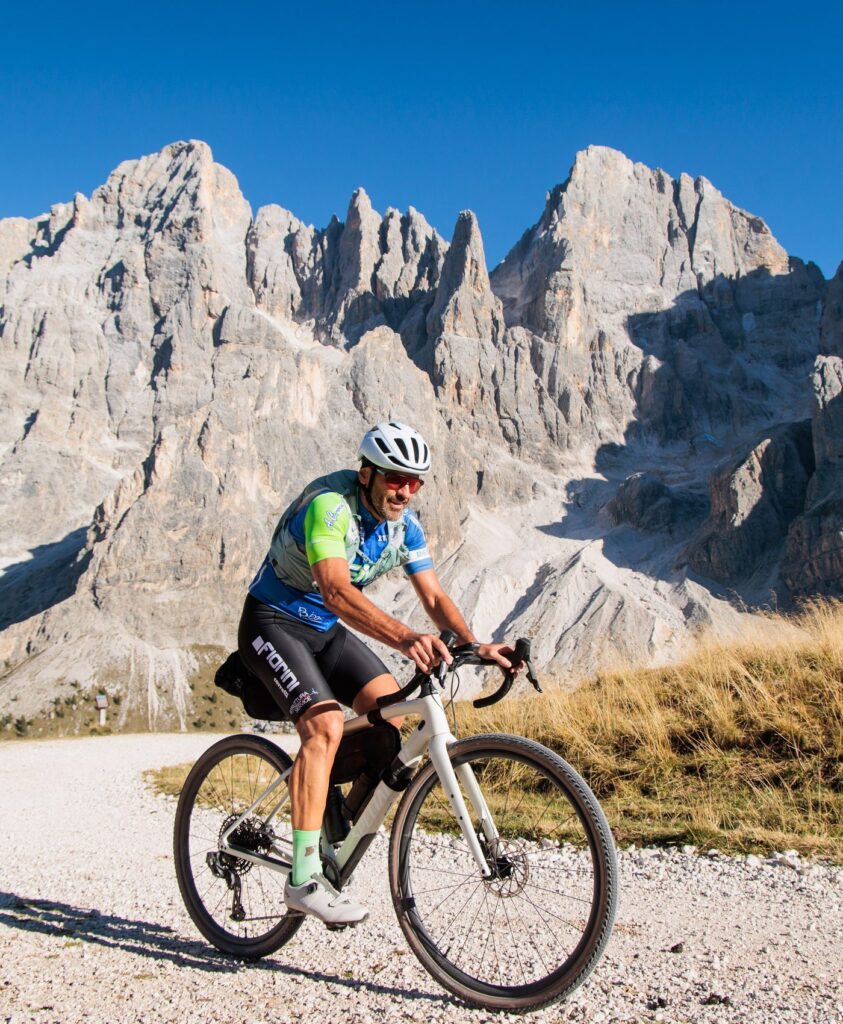
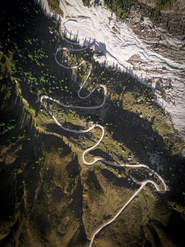
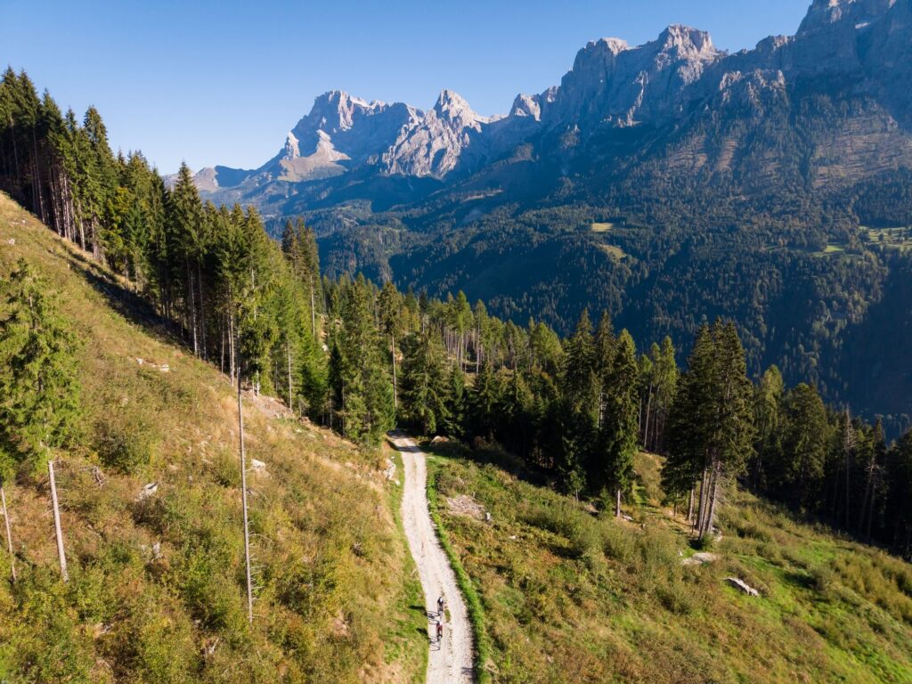
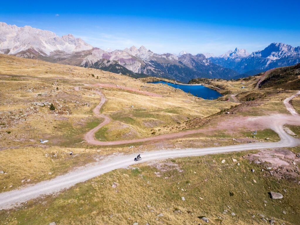
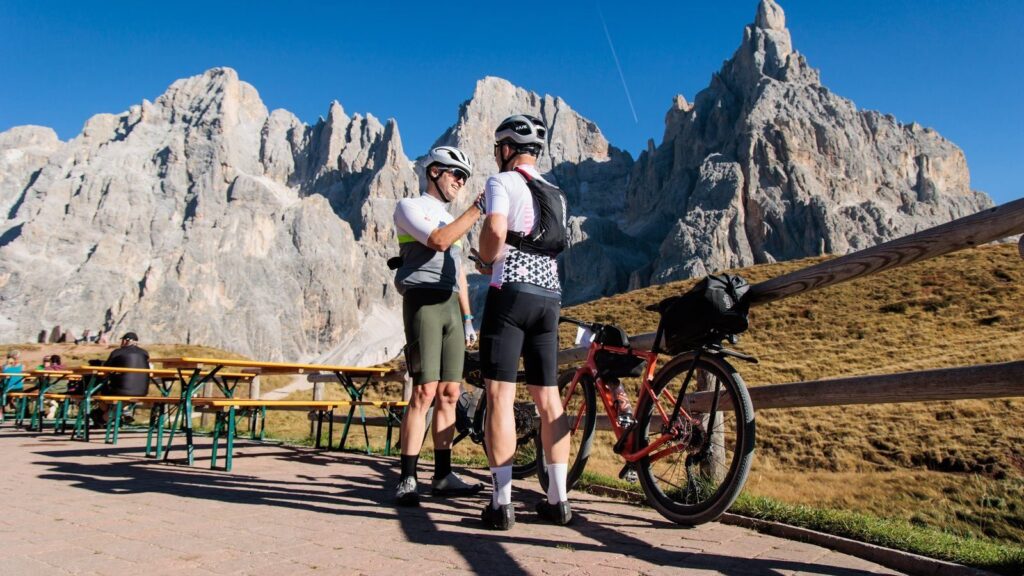
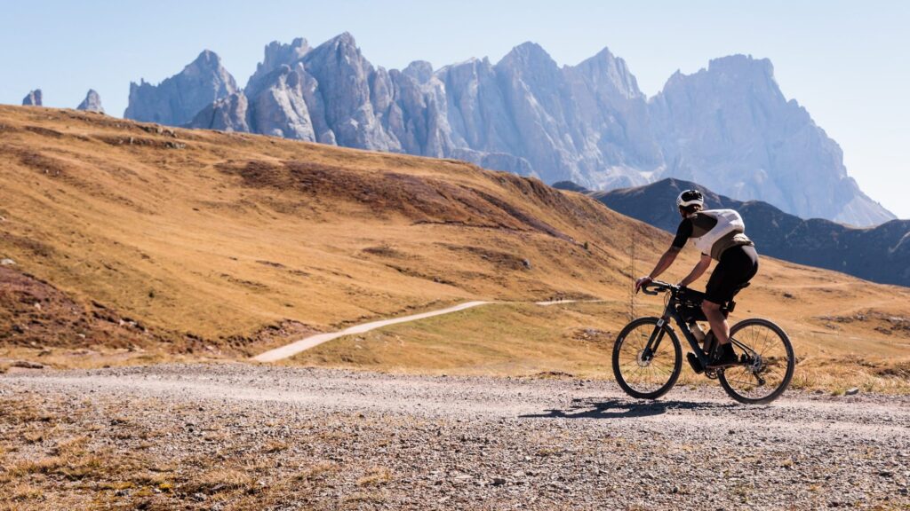
The last two and a half kilometres before Col Margherita are not ridden. They are pushed. The ski slope climbs straight up above Passo San Pellegrino, the bike is heavy with bags, and anyone who reaches the top already has Lake Garda, the Paganella plateau and Val di Fiemme in their legs. These are the 2,337 metres of the highest point of Trentino Gravel 2026, on the Lungo route, 371 kilometres and 7,400 metres of climbing. All around are the Dolomites.
One rider got there on their very first bikepacking trip. Asked what they would change about the route, they started right there, in Spanish. “No cambiar la subida a Margarita, merece la pena.” (Don’t change the climb to Margherita, it is worth it.)
In brief
- Trentino Gravel is a gravel bikepacking event in Trentino, Italy, starting and finishing in Rovereto. It is not a race. There are no rankings and no timing.
- The first edition, the Pioneer Edition, ran from 25 to 30 September 2026, with about 500 riders from more than 25 countries, almost half from abroad.
- There were three loop routes. Corto, 210 km with 3,000 m of climbing. Medio, 353 km with 6,740 m. Lungo, 371 km with 7,400 m.
- It is organised by the Bike Adventure Series, the team behind the Tuscany Trail.
- Riders rated it 9 out of 10 when asked if they would recommend it to a friend.
- The second edition runs from 23 to 29 September 2027, again from Rovereto.
- The official website is trentinogravel.com. Before you sign up, read the Trentino Gravel guide.
Trentino Gravel is a bikepacking journey, not a race. You leave Rovereto with the track on your GPS and the bags on your bike, pick one of three loop routes and come back when you come back, within five days. Everyone finds their own bed and dinner along the way. It is organised by the Bike Adventure Series, which has brought thousands of riders to the Tuscany Trail since 2014, and the idea behind the track is simple. Take real mountains and make them rideable.
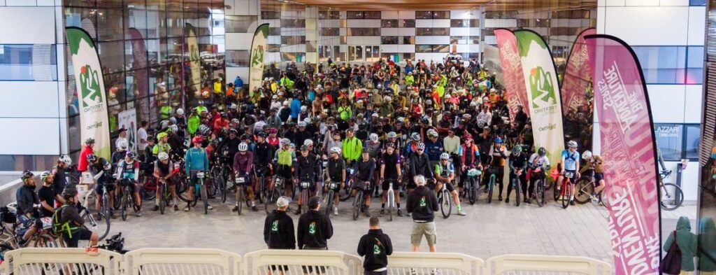
On 10 June, when registration opened, the event had never had an edition. The places were gone in less than half an hour, and more than three thousand people were left on the waiting list. On Saturday 26 September at 7:30, about five hundred riders rolled out of Progetto Manifattura, the former tobacco factory on Viale Lazzari. Half the group was over 48, almost half came from abroad, and six in ten had already ridden the Tuscany Trail. One of them would later sum it up in Italian. “Si vede la stoffa del Tuscany.” (You can see the Tuscany Trail quality.) The organisers called it the Pioneer Edition, the edition of the first ones.
Lake Garda, before nine
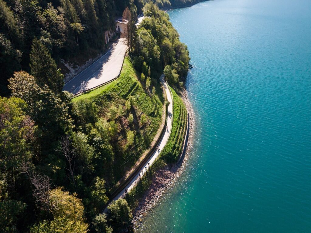
All three routes start toward the water. From Rovereto the track crosses over to Nago, and Lake Garda appears all at once, below, among the olive trees. Then Torbole at lake level, the Marocche di Dro, wide fields of boulders left by ancient landslides, the Sarca valley, Arco under its castle.
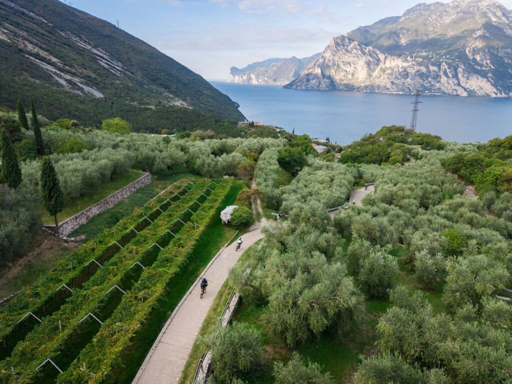
At that hour you ride with cool air on your arms. For five days the sky stayed clear from the first day to the last, and many riders wrote about it without being asked. It was not only luck, because in these mountains the last week of September is the driest of the month. Andrea Borchi, who led the project for the Bike Adventure Series, explains it with the season. “No summer heat, cool mornings, perfect riding hours in the middle of the day, and days that are still long.”
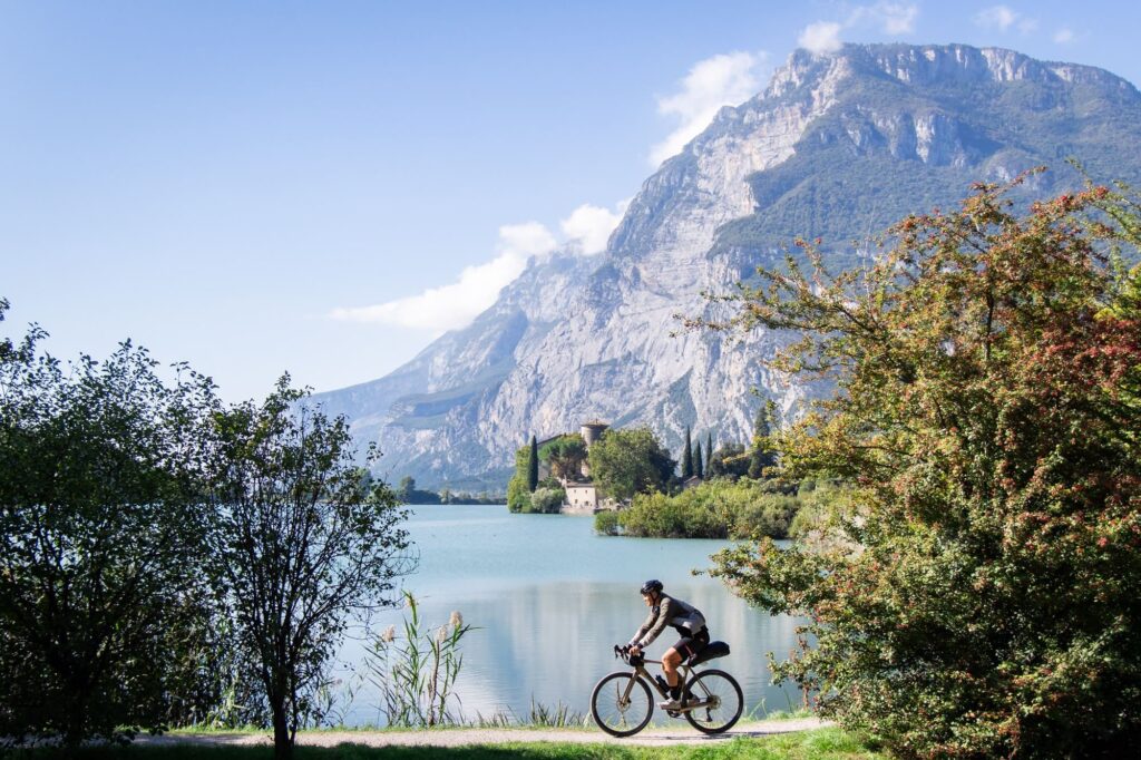
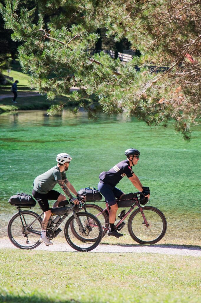
Garda is only the first lake. Depending on the route come Toblino with its castle on the water, the small lake of Nembia, Molveno under the Brenta Dolomites, Santa Giustina seen from the Mostizzolo bridge, Levico and Caldonazzo near the end. One Medio rider, while pedalling, was thinking of another name. “Forse il nome più adatto sarebbe dovuto essere Trentino Lakes and Gravel!” (Maybe the right name would have been Trentino Lakes and Gravel!)
Toward Campo Carlo Magno
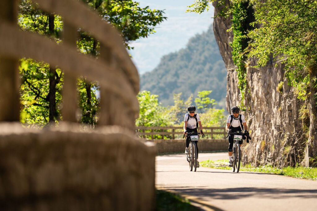
On the Corto the real climb comes on day one. Val Rendena village after village, Pinzolo, Sant’Antonio di Mavignola, then Madonna di Campiglio under the walls of the Brenta Dolomites and over the top at Campo Carlo Magno, 1,682 metres.
This is where the question comes back, the one everyone asks when they look at the map before signing up. Aren’t the Dolomites for climbers? The riders answered it when they got home, rating the effort from 1 to 5, the same question asked to thousands of Tuscany Trail riders. The Corto got the same score as the Newbie, the route most people start with at the Tuscany Trail. The Medio got the same as the Original, the classic route. The Lungo is one step above.
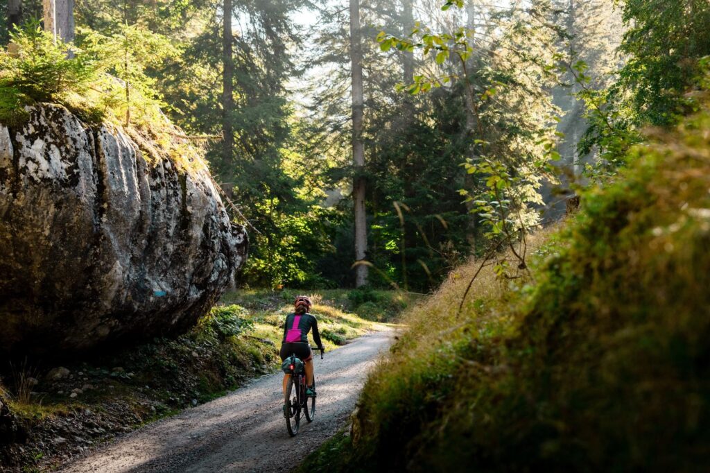
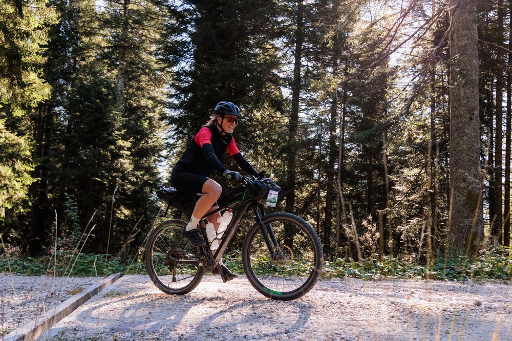
The reason is in the design of the track. The climbs have gravel bike gradients, after every pass there is a long descent, and between one climb and the next the valley bike paths let the legs breathe. “Il percorso era perfetto per la mia gravel, le salite erano di una pendenza pedalabile” (The route was perfect for my gravel bike, the climbs had a rideable gradient), writes one Lungo rider, who knew about the hike a bike section in advance. For one Corto rider everything was a first. “È stata la prima avventura, i miei primi 210 km e i miei primi 3000 metri di dislivello.” (It was my first adventure, my first 210 km and my first 3,000 metres of climbing.)
Bike paths through Val di Sole
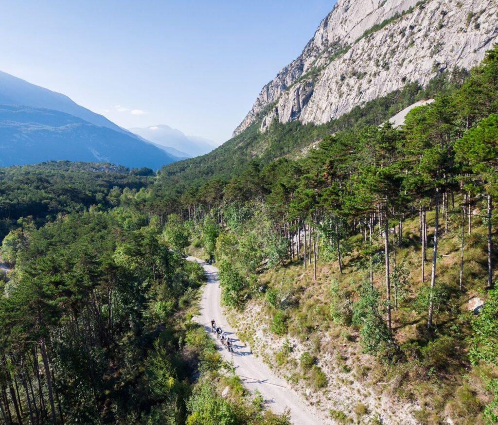
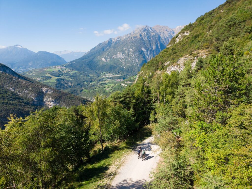
After Campiglio the Corto drops from Folgarida to Dimaro and joins the Val di Sole bike path to Malè and Caldes. Here you see the other half of Trentino Gravel. The real gravel is on the climbs and the high traverses, on forest roads, in the woods, across the pastures. In the valleys you roll along Trentino’s network of bike paths, which links one valley to the next far from cars.
Riders who come from pure gravel always ask if there is too much tarmac. A group from abroad answered like this. “We’ve never experienced a route so long with such little cycling with cars.”
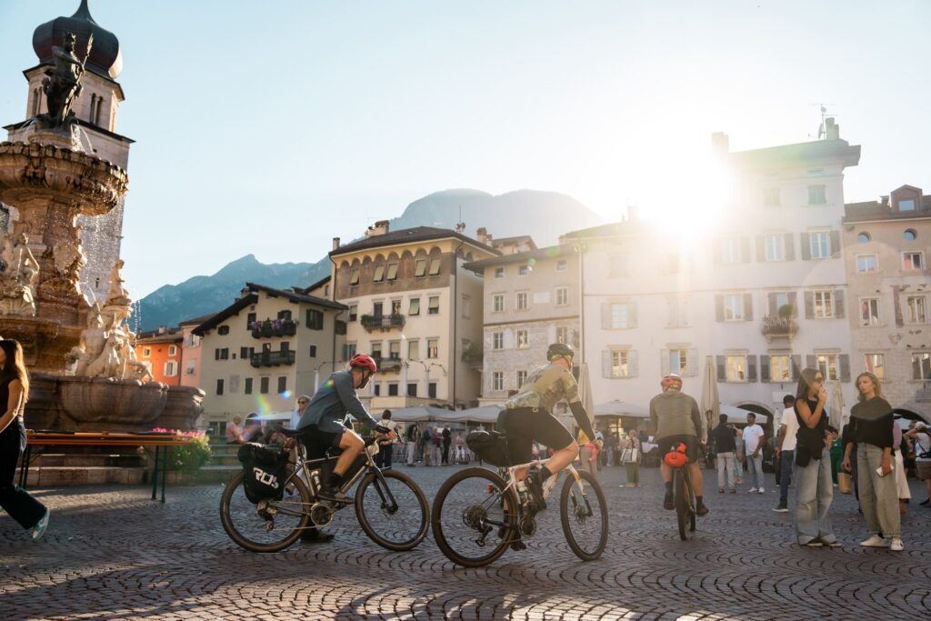
For all these surfaces one bike does it. More than eight riders in ten had a gravel bike, and the advice they pass on is about tyres, at least 45 millimetres, better 50 with some knobs for the Lungo, plus one easier gear for the gravel climbs. Mountain bikes are allowed but not needed, and e-bikes are allowed. Then the Mostizzolo bridge over Lake Santa Giustina, the apple orchards of Val di Non, the vineyards of the Piana Rotaliana, and Piazza Duomo in Trento with the bags still full.
Under the Pale di San Martino
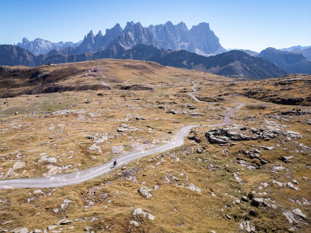
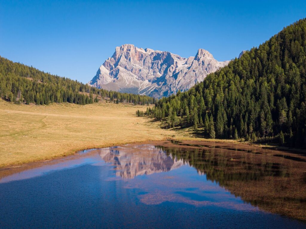
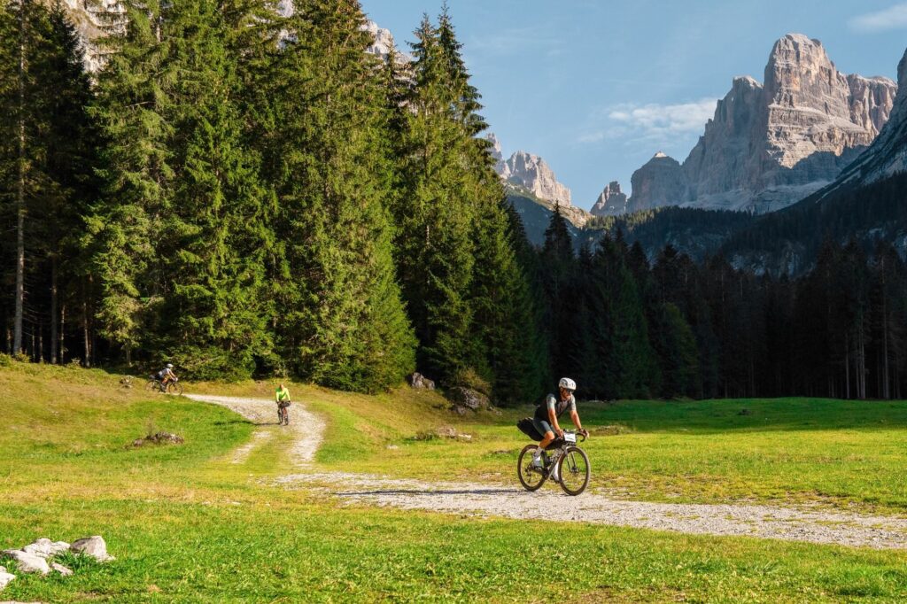
Meanwhile Medio and Lungo climbed toward Val di Fiemme. From Predazzo the Medio enters the spruce forest of Paneveggio, while the Lungo goes through Moena and takes on Passo San Pellegrino and Col Margherita. Then both enter Val Venegia, and the Pale di San Martino rise in front of the wheel. Baita Segantini is at 2,173 metres, Passo Rolle at 1,984, then the descent to San Martino di Castrozza.
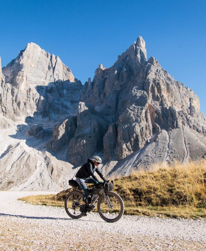
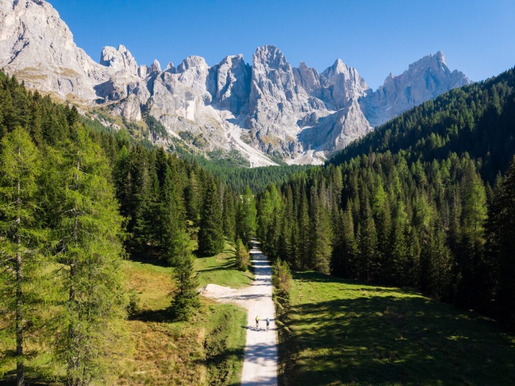
The Lungo is the route riders liked most, 4.74 out of 5, and one of them gave it an off scale score. “A 17 out of 10!” Another, who lives in Trentino, mostly noticed the foreign riders met along the way, who could not find the words in front of Garda and the Pale.
Medio and Lungo take three or four days. One couple finished the Lungo in three, and one of them told it like this. “My wife and me did the Lungo in 3 days, was hard but soooo good.” In four days the Lungo is about 93 kilometres and 1,850 metres a day, the Corto in two about 105 kilometres and 1,500 metres. How to split each route, and where to stop for the night, is one of the chapters of the Trentino Gravel guide.
Where the light ends
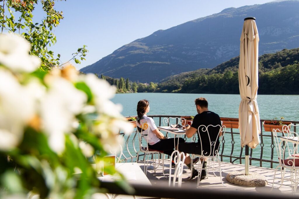
At Trentino Gravel nobody rides in the dark. The day ends where the light ends, and you plan the stage around the bed. Nine riders in ten slept indoors, in hotels, B&Bs or mountain huts, and more than nine in ten found a place without trouble. Using the accommodation map in the guide, riders booked in more than forty places along the route. Wild camping and bivouacs are not allowed, because much of the route crosses protected parks. Open campsites are fine.
The advice from those who were there is to book the night in Rovereto before the start and the nights up high first. For the rest there is the app, which shows the next 25 kilometres with water, food, accommodation and altitude, and it is the feature riders praised most. In the valleys something is always open, and before the emptier stretches the guide tells you to stock up.
A dot on the map
Many started alone, and in the mountains the question is always the same. What happens if I am on my own halfway up a long climb? The live tracking shows where you are at every moment, to the organisers and to the people at home. One Lungo rider found out that quite a few people were following from home. “My friends at home who missed out on the event seemed to enjoy following my slow progress.”
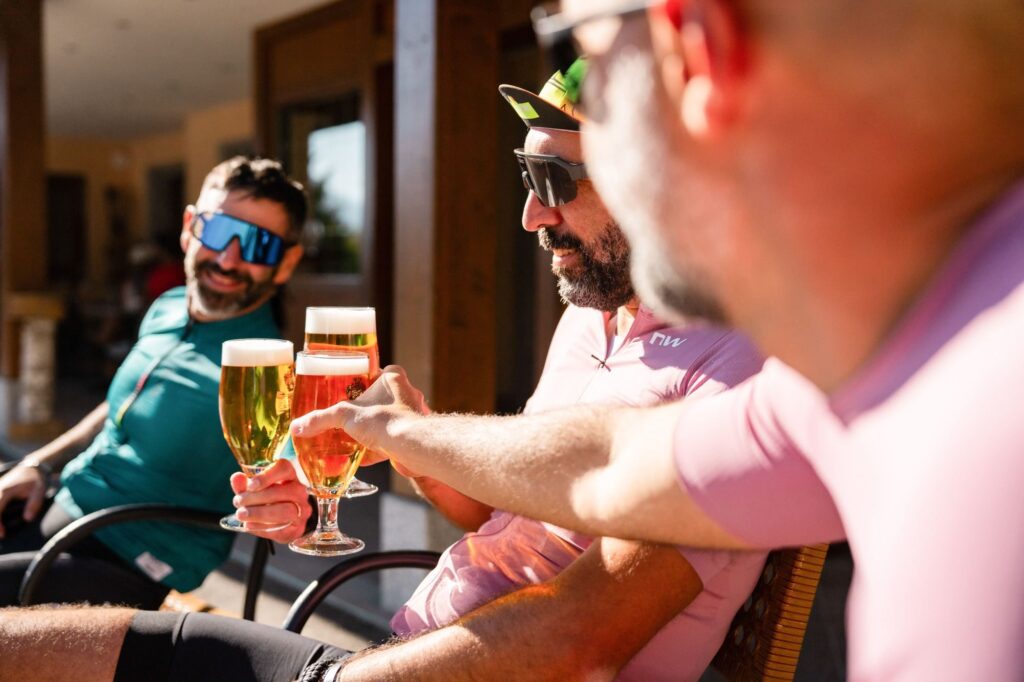
And then there are the people. Hundreds were riding the same track, you say hello on the climbs and share a table in the evening. “The fellow cyclists I met from many different countries added to the event as we were all like-minded people,” writes another Lungo rider.
Back to Rovereto
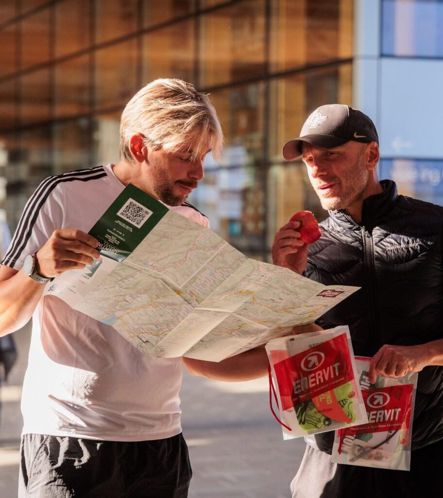
Medio and Lungo return through Primiero and Vanoi. Lake Calaita, Passo Brocon, the Tesino plateaus, then Valsugana between the lakes of Levico and Caldonazzo and the Vigolana plateau, before the descent toward Trento. From there, for everyone, the Adige bike path through Calliano, Volano and Villa Lagarina, back to the square they had started from. Almost two in three Corto riders were back on Sunday afternoon, Medio and Lungo between Monday and Wednesday. Trentino apples were waiting at the finish, and one Corto rider left a single question in the post event survey. “Apples at the start and finish were the best; I wonder where to buy them; can you please help?”
Almost one rider in four came to Rovereto with someone who was not riding, and many of the riders from abroad stayed a few extra days. Rovereto is on the Brenner motorway and railway, and whoever comes along has the lakes, Trento and the museums of Rovereto while they wait.
The final score came from the riders. They would recommend it to a friend with 9 out of 10, and almost two in three gave full marks. They gave the route 4.5 out of 5.
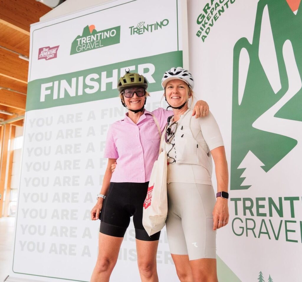
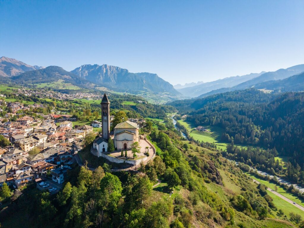
Weeks later, someone wrote that they still had the Dolomite landscapes in their eyes and in their heart. Not the kilometres, not the climbing. The landscapes. That is the right measure for a journey like this.
Trentino Gravel 2027
The second edition runs from 23 to 29 September 2027, again from Rovereto. The three routes stay, improved with the suggestions of the 2026 riders, and Medio and Lungo now include Passo Cinque Croci, at 2,014 metres, between Valsugana and Vanoi. You choose your route when you register and you can change it whenever you want. There will be more places than in 2026, and the number is set by the territory, by the beds available along the way. You collect your event pack in Rovereto on the day you choose when you register, then you start whenever you like. At the finish there is also the finisher patch, to sew onto the bag that carried you all the way.
Registration opens in two stages. From 1 November 2026 at 11:00 there is the double ticket, the Tuscany Trail in May and Trentino Gravel in September with a single registration, with a limited number of places for this pair. Trentino Gravel on its own opens in mid February 2027, at 120 euros.
Read the Trentino Gravel guide, written with the answers of the 2026 riders.
Dates, routes and news are on the official website, trentinogravel.com.
Find out how to register for Trentino Gravel 2027
Trentino Gravel, frequently asked questions
What is Trentino Gravel?
Trentino Gravel is a gravel bikepacking event in Trentino, Italy, starting and finishing in Rovereto, with three loop routes from Lake Garda to the Dolomites. Riders are self supported, with bags on the bike, and it is not a race. It is organised by the Bike Adventure Series, the team behind the Tuscany Trail.
When is Trentino Gravel 2027?
Trentino Gravel 2027 runs from 23 to 29 September 2027, starting and finishing in Rovereto.
How long are the routes?
In 2026 the Corto was 210 km with 3,000 m of climbing, the Medio 353 km with 6,740 m and the Lungo 371 km with 7,400 m. Distances and climbing for 2027 will be published with the new tracks.
Is it too hard if I am not a climber?
In 2026 riders gave the Corto the same effort score as the Newbie route of the Tuscany Trail, and the Medio the same as the Original. The climbs are designed for gravel bikes, with long descents after every pass, and you decide how many days to take.
How many days do I need?
The Corto is a weekend ride, while the Medio and the Lungo take three or four days. Nobody rides in the dark. Suggested stages are in the Trentino Gravel guide.
What bike do I need?
A gravel bike with tyres of at least 45 mm, or 50 mm for the Lungo. Mountain bikes are allowed but not needed, and e-bikes are allowed.
Is there a hike a bike section?
In 2026 the only announced hike a bike section was the climb to Col Margherita on the Lungo, about two and a half kilometres up to 2,337 metres. Details for 2027 come with the new tracks.
Where do riders sleep?
Wherever they like along the route. In 2026 nine riders in ten slept indoors and more than nine in ten found a place without trouble. Wild camping and bivouacs are not allowed.
Can I ride alone?
Yes, many riders start alone. Live tracking shows every rider’s position to the organisers and to people at home, and hundreds of riders are on the same track.
I already ride the Tuscany Trail. Can I do Trentino Gravel too?
Yes, and many did both in 2026. The Tuscany Trail is in May and Trentino Gravel in September, and from 1 November 2026 a double ticket covers both with one registration.
How much does registration cost?
Trentino Gravel 2027 on its own costs 120 euros and opens in mid February 2027. From 1 November 2026 there is a double ticket together with the Tuscany Trail 2027.
What does registration include?
The GPS track, the app with the guide, live tracking, the event pack at the start and at the finish with the finisher patch, a cap, a wristband and stickers, professional photos and insurance.
How do I get to Rovereto?
Rovereto is on the Brenner motorway and the Brenner railway. In 2026 most riders arrived by car.
Add comment